For the third week in the GravelNY Spring Gravel Series we’re riding the dirt roads in Westchester, around Katonah. There are two distance options:
Short Distance Group
- 39 miles
- 3,680 feet climbing
Long Distance Group
- 65 miles
- 5,830 feet climbing
There are actually many ways to do a ride that’s somewhere between the short distance ride and the long distance ride. But more about that in a moment…
Highlights Include…
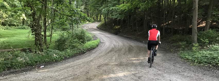
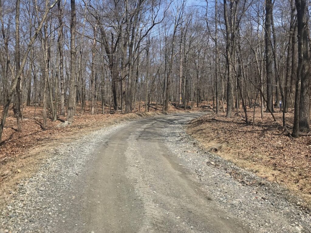
- Dirt roads
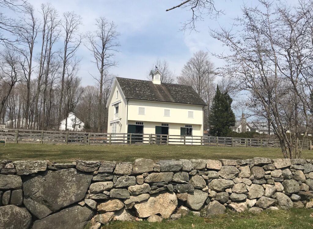
- Horse farms
- Wide open vistas
- Ward Pound Ridge Reservation
The Route
All the routes start and end at the Katonah MetroNorth station.
As you can see from the graphic above, the long route is basically the short route with 5 additional segments. What that means is that you can switch pretty easily between the two routes to make the short route longer or the long route shorter.
Route Details
These routes involve considerable riding on dirt roads so 38-53mm tires are recommended. Strong riders may be able to do the ride on 32-35mm tires.
To facilitate both the short distance group and the long distance group arriving back in Katonah around the same time, it’s suggested that the short distance group start an hour later than the long distance group.
Both groups head out of Katonah towards Bedford Hills. The short distance group heads dirrectly to Bedford Hills on paved roads while the long distance group take the first of its five diversions off the short route to ride a loop of mostly gravel roads (Croton Lake Road → Haines Road → Meeting House Road → Wood Road) which adds a bit over 5 miles and 550 feet of climbing to the route the short distance riders take.
A little south of Bedford Hills both groups ride Broad Brook Road (gravel) and then the long route does its second of five diversions to ride a slightly longer route to the Sutton Clock Tower (a weird monument built by the same guy who Sutton Place is named after – they used to own the area and he built it for his wife). Both groups briefly ride on Guard Hill Road (in different directions) before the routes converge again and they ride gravel briefly on Clinton Road.
Both routes then do a fairly long segment of gravel on Hook Road starting at the Bedford Oak – a 500+ year old oak tree. After Hook Road ends there’s another bit of gravel on Upper Hook Road.
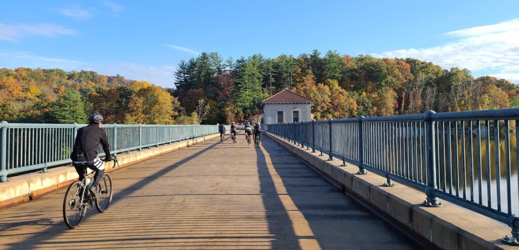
Both groups then make their way to Ward Pound Ridge Reservation where they ride the park road (a portion of which is closed to traffic) through the reservation.
After the reservation there’s a short gravel segment on Bountonville Road, and then another on Woodway Road.
Eventually the groups get to Mountain Lakes Park where the both groups have their biggest hill climb of the ride – about 475 feet of climbing over 2 miles with an average grade of 4.5%. But most of the climb is on a quiet park road, about half of which is gravel.
We’ll then exit the park “through the backdoor” which amounts to a half mile of pretty rough gravel. You should use a lot of caution in this section, and consider walking the half mile.
When we exit the park we will be in Connecticut where we’ll take a few quiet roads back to a different part of the park where we’ll take a dirt trail briefly that will get us to Hunt Lane (gravel).
At this point we’ll be in North Salem and it will be time for lunch. It’s possible that the long distance group will have caught up with the shorter distance group by this time, but the long distance group has more options for where they can stop for lunch.
The short distance group will stop for lunch at The Market at Union Hall. Long distance group will do the third of their five deviations from the short route and also have the option of “Hayfields Cafe & Florist” and Kingsley Deli & Pizzeria. Please note the offerings at Market at Union Hall are completely organic and as a result there are none of the things you might typically buy – like sports drinks.
That third diversion by the long distance group adds 7 miles and 550 feet of climbing to the route taken by the short distance riders. But a fair bit of it is on dirt roads going through horse country (e.g. Norton Lane and Baxter Road) – so quite lovely.
After lunch in North Salem we head about 2 miles over to Salem Center where the long distance group does the fourth of its five diversions from the short route as it goes over to Purdys as it goes around Titicus Reservoir. Since there is no gravel on this diversion if longer distance riders want to cut one of the diversions out of the route this is the one to cut. Doing so will cut 7 1/2 miles and 450 feet of climbing off the route.
Both groups then head out of Salem Center on Turkey Hill Road (gravel). Then they both head over to Nash Road which is gravel for another couple miles of gravel.
From there both groups head to Todd road to a a bit of gravel and then a longer stretch of gravel on North Salem Road and Mt Holly Road which end at the dam for the Cross River Reservoir.
After crossing the dam, the long distance group does its fifth and final diversion from the short distance route – riding a longer section of gravel near the reservoir than the short distance group as they both head to the MetroNorth station to end the ride.
That final diversion by the long distance group adds 4 1/2 miles and 410 feet of climbing. In addition to the gravel by the reservoir, they also ride Katonah’s Wood Road and Beaver Dam Road, both of which are gravel. Then at the end of Beaver Dam Road they go past two prisons before getting back to the train in Katonah.
Both groups will then gather at Paulie’s to socialize a bit before heading home.